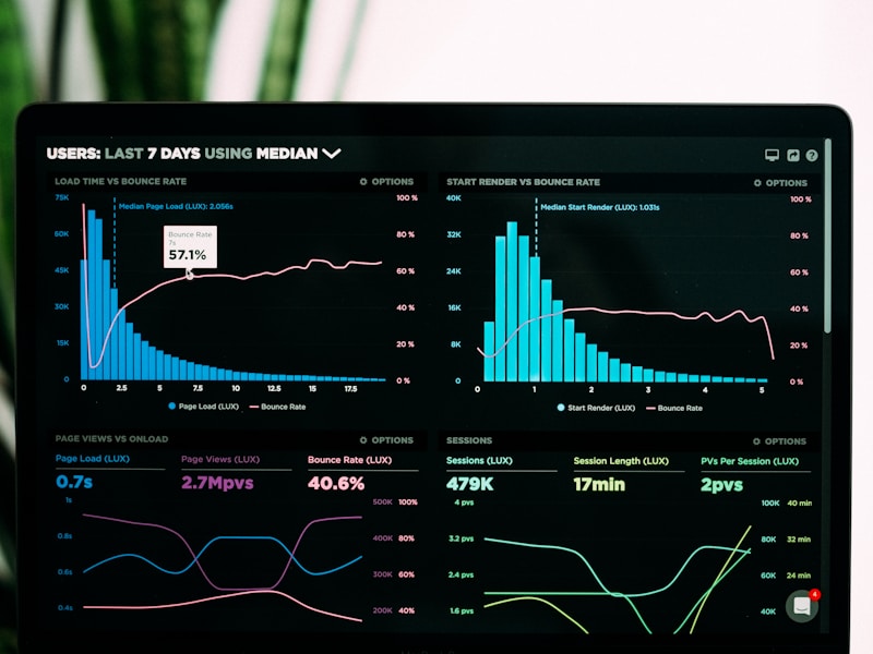
Loading Interactive Dashboard...
Our Services
Comprehensive GIS and IT solutions tailored to your specific needs


Why Choose Us?
MetaGIS delivers excellence in every project through expertise, innovation, and dedication
30+ Team Projects
Successfully delivered over 30 complex GIS and IT projects across various industries and regions.
10 Years of Experience
A decade of expertise in providing cutting-edge geospatial and IT solutions to clients worldwide.
24/7 Support
Round-the-clock technical support and assistance for all our clients and their projects.
Quality Assurance
Rigorous quality control processes to ensure the highest standards in all our deliverables.
Our Technology Stack
Cutting-edge technologies powering our innovative 2D and 3D geospatial solutions

GIS
Geographic Information Systems

IT
Information Technology

Cesium
3D Geospatial Platform
Blockchain
Distributed Ledger Technology
AI
Artificial Intelligence

WebGL
3D Graphics Rendering
About MetaGIS
MetaGIS is a leading provider of Geographic Information Systems (GIS) and IT services, helping organizations harness the power of location intelligence and spatial data.
With over 10 years of experience in the industry, our team of experts delivers innovative solutions that transform how businesses understand and utilize their geographic data.
- Expert team with specialized GIS knowledge
- Custom solutions tailored to your business needs
- Cutting-edge technology and methodologies
- Comprehensive support and training

Contact Us
Get in touch with our team to discuss how we can help with your GIS and IT needs
Our Location (UAE)
Sheikh Shahid Road, Sharjah, Dubai
Our Location (Pakistan)
Islamabad, Pakistan
Email Us
info@metagis.com