See the Unseen with Satellite & Drone Intelligence
Unlock critical insights from aerial and satellite imagery for environmental, agricultural, and urban monitoring.


Our Remote Sensing Expertise
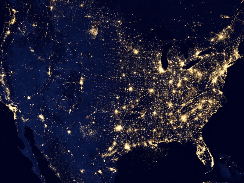
Satellite Imagery Analysis
Gain insights from high-resolution satellite images.
- Detailed environmental monitoring
- Agricultural crop health assessment
- Urban planning and development
Drone Imagery Analysis
Capture and analyze high-quality drone images.
- Precision agriculture
- Forest canopy analysis
- Infrastructure inspection
GIS Integration
Integrate remote sensing data with GIS for comprehensive analysis.
- Spatial data analysis
- Mapping and visualization
- Data-driven decision making
Sensor Comparison: Choosing the Right Tool
Satellite Sensors
Ideal for large-scale monitoring.
Pros:
- Wide coverage area
- Cost-effective for extensive regions
- High revisit frequency
Cons:
- Lower resolution compared to drones
- Subject to atmospheric conditions
Drone Sensors
Perfect for detailed, localized inspections.
Pros:
- High resolution images
- Ability to capture data in real-time
- Customizable flight paths
Cons:
- Limited coverage area
- Higher operational costs
- Weather-dependent
LiDAR Sensors
Provides 3D data for precise measurements.
Pros:
- High accuracy in elevation data
- Useful for forestry and urban planning
- Non-destructive data collection
Cons:
- Expensive technology
- Requires clear weather conditions
- Data processing can be complex
Ready for a Custom Remote Sensing Analysis?
Let our experts help you unlock the full potential of satellite and drone data for your projects.