Transforming Data into Spatial Intelligence
Leverage cutting-edge Geographic Information Systems to visualize, analyze, and optimize your spatial data.


Our Core GIS Services
Spatial Data Mapping & Visualization
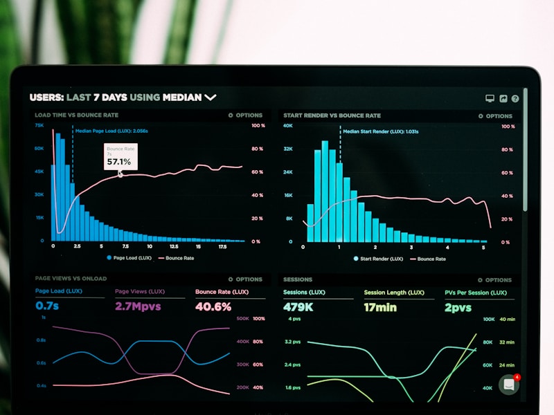
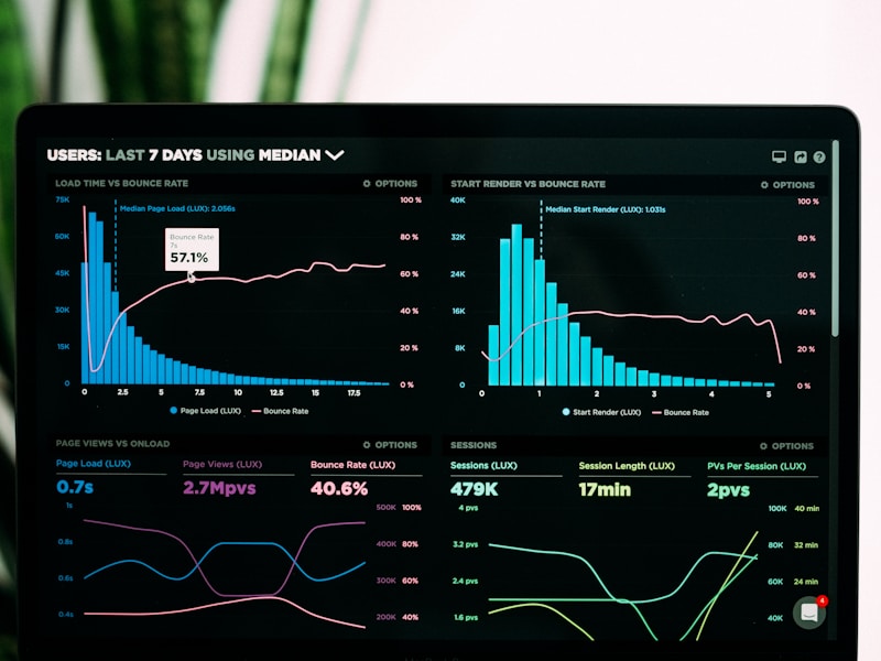
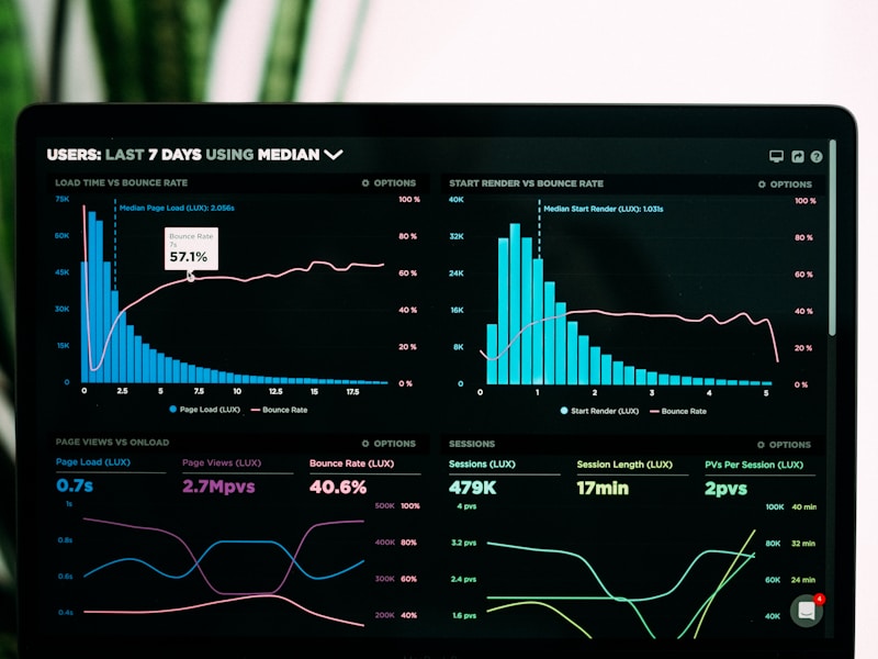
Interactive dashboards, 3D city models, and custom cartography for clear insights.
- Develop interactive web maps and dashboards.
- Create high-fidelity 3D city models for urban planning.
- Design custom cartographic products for various applications.
- Visualize complex spatial relationships and patterns.
Network & Routing Optimization
Efficient logistics planning, emergency response, and service area analysis.
- Optimize transportation routes for fleets and deliveries.
- Enhance emergency service dispatch and response times.
- Conduct service area and accessibility analysis.
- Model network flows and identify bottlenecks.
AI-Powered Predictive Analytics
Hotspot detection, risk modeling, and automated feature extraction using AI.
- Identify spatial hotspots for crime, disease, or resource allocation.
- Develop predictive models for environmental risks and urban growth.
- Automate feature extraction from imagery using machine learning.
- Integrate AI with GIS for intelligent spatial analysis.
Optimize Your Operations with GIS
Discover how our GIS expertise can transform your data into actionable spatial intelligence.